Kettleness Mysteries (one solved)

Geotag Icon Show on map

I really have no idea what this short tunnel/shelter just below the cliff top is for, it seems too neat and too short to be mine related. To me it gives the impression of being a shelter from where the view can be admired. It looks to have been cut by hand.

Kettleness Mystery Tunnel / Shelter Kettleness Mystery Tunnel / Shelter  Kettleness Mystery Tunnel / Shelter

Does anyone have any idea of its age and purpose ?

Just a short distance away to the north, this unusual item is visible by the side of the Cleveland Way, the metal part still freely rotates and there appear to be the remain of powerful springs attached.

Kettleness Mystery Item

It is some distance away from both the Sandsend and Kettleness tunnels.

UPDATE : Dave Richardson has kindly come up with an answer for the second one, its a Motley Mount for Twin Vickers “K” Machine Guns for light anti aircraft defense, there were originally four as the Goldsborough Cliff Radar Station was here from 1940 to 1945.

Duck Bridge – Danby

Geotag Icon Show on map

Duck Bridge was originally known as Danby Castle Bridge (the remains of which are 500m away)

Duck Bridge Duck Bridge Duck Bridge

It is probably medieval in original and was rebuilt in 1717 by George Duck of Danby. It was possible to drive across until a ford was built a few years ago.

Duck Bridge  Duck Bridge

The Neville Coat of Arms can be seen on the parapet, and a set of stepping stones run beside the bridge.

Saltburn Mortuary

Geotag Icon Show on map

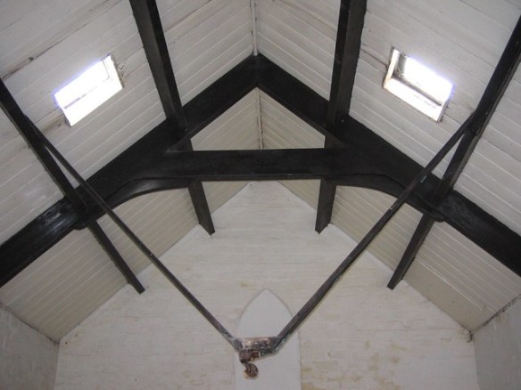
Got the rare opportunity to see inside this normally locked building as part of Heritage Open Days.
Saltburn Mortuary Heritage Open Day
The mortuary was built in 1881, bodies lost at sea tended to arrive here due to prevailing currents and it was still in use in the 1960s
Saltburn Mortuary Heritage Open Day
There was the opportunity to try out the slab, but I declined.
Saltburn Mortuary Heritage Open Day

UPDATE: As of 2012 this building is up for sale.

Echo Tunnel – Liverton Mines, Kilton Viaduct

Geotag Icon Show on map

Located where Kilton Beck passes under a viaduct that was buried around 1911 – 1913 due to subsidence from the ironstone mines destablising it.

To the north you need to climb down a steep shale bank that looks like its regularly used by scramblers, the water at that end is almost knee deep, so we couldn’t attack it from that side and had to go all the way back up.
Echo Tunnel North Entrance
Heres the same location just after constuction
<
To the south another steep climb passing a large heap of burnt out cars, but the beck is much shallower and access is easier. Here’s an image from inside with a normal flash, and a colourful HDR image built up from several shots.
Echo Tunnel
Echo Tunnel HDR Shot

Then it was time for some fun
Echo Tunnel Light Painting
Many thanks to Sayzey for putting me on to this one, and giving me the idea to try HDR photography. 

Hunters Scar Jet Mine

Hunters Scar is a jet mine, beleived to have been converted for water storage around the time of the First World War. Possibly for the nearby Gribdale Terrace when the Ayton Bank and Ayton Monument ironstone mines were operational.

The mine is accessed via a tight tunnel with a water pipe down the center.
Hunters Scar Jet Mine, Great Ayton

Inside the mine has concrete dividers storing deep pools of water, and a ladder leading vertically into the woodlands above.
Hunters Scar Jet Mine, Great Ayton

The ladders look very unsafe so its best to back track through the tunnel and look for them in the woods.
Hunters Scar Jet Mine, Great Ayton

UPDATE : The woodland in this area has been harvested since my photos were taken and both entrances are now in open land.